Cartography
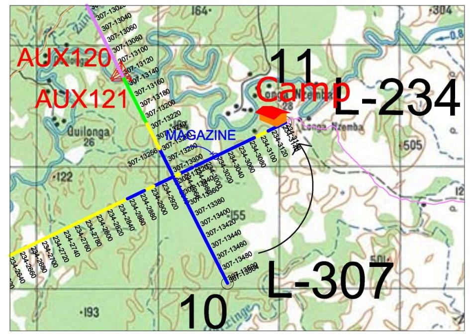
Cartography, art and science which is intended to draw maps. The preparation of maps required traditionally: 1) Ability to find and select information about the different aspects of geography; 2) Technical and design skills in order to create a final map can faithfully represent the information; 3) Handedness to draw the information through the use of symbols, lines and colors; 4) design techniques to simplify the drawings.
There are different types of maps; topographic show natural or artificial landscape features, thematic show specific topics and are generally based on a topographic map.
Maps can also be classified as large and small scale. The distinction between them is arbitrary, so some countries consider such a large scale from 1: 10.000, while others consider it from 1: 25,000.
Man has always needed to know the environment they live in, for survival issues, guidance, security, war, navigation, construction, etc. In principle the representation space based on observation and description of the medium. It should be noted that some historians say the man was already maps before they develop writing. With time came techniques and measurement equipment that facilitated the collection of data for later representation. The topography was one of the tools used to perform these measurements.
Etymologically the word TOPOS, in Greek, means graphen place and description, so in a very simple way, topography means description of the place. The following are some of your settings:
“Topography The aim of the study instruments and methods used to obtain the graphical representation of a portion of terrain on a flat surface” Doubek (1989)
“The Topography object is to determine the shape, size and relative position of a limited portion of the earth’s surface without taking into account the resulting curvature of the earth’s sphericity” Espartel (1987).
The main objective is to carry out the survey (perform measurements of angles, distances and height differences) that allows represent a portion of the earth’s surface on an appropriate scale. Operations carried out in the field, in order to collect data for later representation is called surveying.
Geoprocessing
GIS is an area of knowledge that brings together computing resources, such as Geographic Information Systems and also mathematical techniques with the aim of manipulating geographic information. The GIS influences various areas such as Cartography, Natural Resource Analysis, Transport, Communications, Energy and Urban and Regional Planning.
Geographic Information System (GIS)
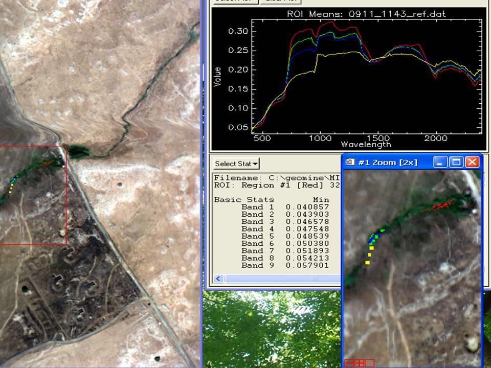
Geographic Information System (GIS) information system that records, stores and analyzes information about the elements that make up the Earth’s surface. A GIS can generate images of an area in two or three dimensions representing natural elements, along with artificial parts.
Many GIS databases consist of data sets are grouped into layers. Each layer represents a particular type of spatial data. GIS can combine these layers into a single image.
A GIS is designed to accept data from a variety of sources, including maps, satellite photographs, texts printed or statistics. GIS converts all geographic data into a digital code and is programmed to process the information and then get the images.


